

Tech4Nature Mexico · 2022–2026
Tech4Nature Mexico
A multisector initiative that strengthens nature conservation and territorial governance on the Yucatán Peninsula through biodiversity monitoring, strategic partnerships and frontier technologies that support data-driven decision-making.
What is Tech4Nature Mexico
Tech4Nature Mexico began in 2022 in the Dzilam State Reserve, on the northern coast of Yucatán, as part of the global Tech4Nature partnership between the IUCN and Huawei. It is co-led by C Minds, the Yucatán Ministry of Sustainable Development (SDS) and the Chac Mool Group, made up of community leaders from the Dzilam State Reserve. Pronatura Península de Yucatán, the Universidad Politécnica de Yucatán and Fundación Pachamama are strategic collaborators.
The starting question was simple: how can technology help us better understand the reserve's wildlife and support the decisions of those who care for it? To answer it, the team combined camera traps, acoustic monitoring and AI models to detect species and identify individual jaguars. That work gave rise to BioScanner, the platform that now brings these capabilities together so other teams can use them.
Partners
Led by




With support from


With strategic contributions from



Key results
Tap each card for details: the expansion agreement, the species list, BioScanner and the jaguar photos.
What we learned
Beyond the results, four years of work produced knowledge that can serve any territory. We gather it here on three levels: what we discovered about the reserve, what we learned along the way and the principles that guide a project like this one.
What we discovered about the reserve
- More vegetation, more species
- Species richness correlated positively with forest cover: sites with a higher share of low forest recorded more species. Conserving and reconnecting vegetation means conserving biodiversity.
- Soundscapes change
- Dzilam's soundscapes vary with the season and habitat type. That is why it pays to monitor year-round and across different environments: forest, mangrove, peten and grassland.
- Sound reveals what goes unseen
- Species that are hard to observe, such as the thicket tinamou, were among those most often detected by the recorders. Combining camera traps with acoustic monitoring expands what a team can record.
Lessons and recommendations
Recognize the value of adapting
Deploying monitoring in hard-to-reach areas changes plans: rain, flooding, roads and equipment that fails. Projects that adapt learn faster.
Recommendation: Design monitoring with the people who know the territory, adopt biocultural monitoring as a principle and revisit the plan in every campaign. Biocultural monitoring
Governance, in all its dimensions, matters most
Who decides, how partners coordinate and who owns the data determine the project's trust and continuity.
Recommendation: Agree on roles, decision-making spaces and data rules before installing the first piece of equipment, with free, prior and informed consent. Data sovereignty
Adoption comes from co-creation
BioScanner works because it was designed with community monitors, park rangers, students and the authority, testing every version in the field.
Recommendation: Involve the people who will use the tool from the design stage and test with them in short cycles.
Multisector collaboration is key from the start
Community, government, academia, civil society and technology partners each bring different capacities. When they take part from the design stage, evidence reaches decisions such as the reserve's expansion.
Recommendation: Bring decision-makers in from day one and document the agreements and focal points of each institution.
Closing capacity gaps takes deliberate work
Using phones, forms, AI platforms and data analysis takes learning time and close support.
Recommendation: Budget for ongoing training, materials in the local language and support staff in the territory.
More data is not always better information
Hundreds of thousands of photos only become useful when they are organized, validated and tied to a goal.
Recommendation: Start with the goal and the decisions, and define what data you need to get there.
Plan for sustainability from the outset
A project's continuity is designed: data that demonstrates conservation and regeneration can sustain economies and financial mechanisms for the territory.
Recommendation: Design innovative financial mechanisms for continuity early on, ones that ensure the prosperity and Buen Vivir of those who care for the territory. Decide and sustain
Sharing data requires trust
Information exchange between institutions is built step by step and takes time.
Recommendation: Start with small, concrete agreements, show the value of sharing and expand the exchange as trust grows.
Principles for creating your own Tech4Nature
- The territory guides the technologyLocal knowledge defines where, how and why monitoring happens; AI extends what the community already observes.
- The goal defines the dataEvery data point answers a shared goal and a decision someone needs to make.
- Data is governed before it is collectedClear agreements on ownership, access and use make trust and exchange possible.
- Continuity is designed from day oneLocal capacities, committed institutions and funding sustain monitoring over time.
Impact area
Tech4Nature Mexico has focused on the northern coast of Yucatán, between the Dzilam State Reserve and the Ría Lagartos Biosphere Reserve. It is a mosaic of low forest, mangroves, petenes (tree islands), coastal dunes and lagoons, with communities that make their living from fishing, livestock and tourism.
- 104,304 haDzilam State Reserve, after its 2024 expansion
- 33camera trap stations analyzed in BioScanner
- 12,024camera-days of monitoring, 2022 to 2026
- ~40 kmbetween two records of the same jaguar, toward Ría Lagartos
Tech4Nature Mexico over the years
- 2022–2024 · Phase 1
Co-design of the project based on needs identified by local leaders and the government; agreements among multisector peers on coordination, follow-up and learning roles; deployment of the monitoring effort; adaptive learning and continuous data collection; data analysis; and the conception of BioScanner for individual jaguar identification.
- 2024
The Government of Yucatán expands the Dzilam State Reserve to 104,304 ha. The rationale for the decree includes Tech4Nature Mexico camera trap studies, jaguar records in neighboring areas and the need to strengthen ecological connectivity.
- April 2025 · Phase 2
Launch at the Tech4Nature Summit in Mérida. Goals: jaguar population distribution, support for management decisions and work toward a biological corridor.
- 2025–2026
BioScanner consolidates as a platform for analyzing camera trap biodiversity data to inform conservation, regeneration and connectivity decisions, with jaguar identification as its core strategy. The team builds the area's jaguar catalog, begins a connectivity study with Ría Lagartos, supports the update of the management program and carries out IUCN Green List self-assessments in Dzilam and Ría Lagartos.
- October 2026
The lessons learned are published in this toolkit so other territories in Latin America and the Caribbean can create their own Tech4Nature.
Juan Castillo
Founding community monitor, Chac Mool Monitoring GroupJuan Castillo grew up in a nomadic family that roamed the forest long before it became a protected area. Settling near water sources, they thrived on hunting, farming and cattle ranching. Like his family, Juan used to believe that defending the cattle from jaguars came first, even if it meant killing these big cats.
Over the years, he reached a profound realization: it was he and his family who were moving into the jaguar's habitat and using its resources, not the other way around. He made a bold decision to take his cattle out of the reserve and move to town.
Now a grandfather, Juan passes on his love of nature to his grandchildren, teaching them that these species are worth more alive than dead, and that they are vital to the survival of the forest, its countless inhabitants and, ultimately, people.
Today, Juan has donated his land for conservation. Together with his friend Benjamín, a former hunter, he has become a respected guide, explorer and passionate advocate for jaguar conservation and for protecting its prey, the tropical forest and the mangroves. They carefully look after the camera traps, keeping everyone in the Tech4Nature Mexico project safe. Juan Castillo has become an international advocate for conservation, admired for his tireless dedication to this cause.
The people who make it possible
Tech4Nature Mexico exists because there are people who know the forest, care for it and chose to show what they knew. These are some of them.
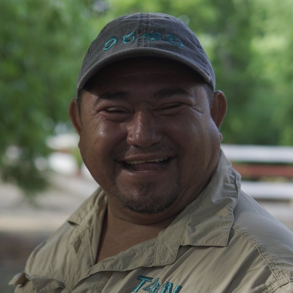 Benjamín «Benja» CamposFounding community monitor, Chac Mool Monitoring Group
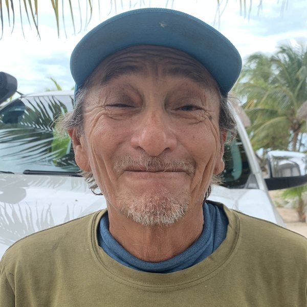 Juan CastilloFounding community monitor, Chac Mool Monitoring Group
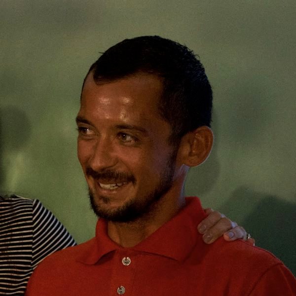 Darwin SosaFounding community monitor, Chac Mool Monitoring Group
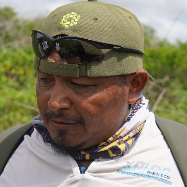 Efraín UicabCommunity monitor, Chac Mool Monitoring Group
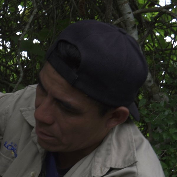 Mateo OrdóñezCommunity monitor, Chac Mool Monitoring Group
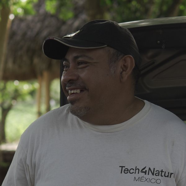 Josué ArgáezCommunity monitor, Chac Mool Monitoring Group
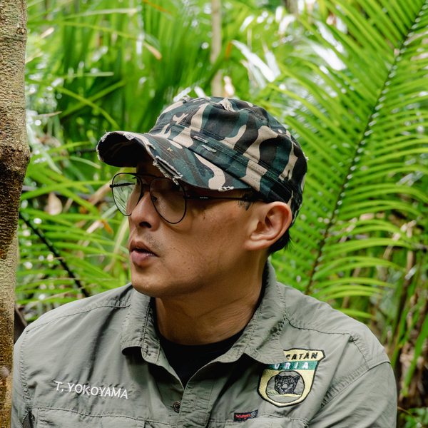 Toshio YokoyamaField operations and public policy leadership
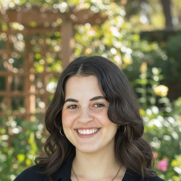 Regina CerveraDirector of Nature Innovation Programs, C Minds

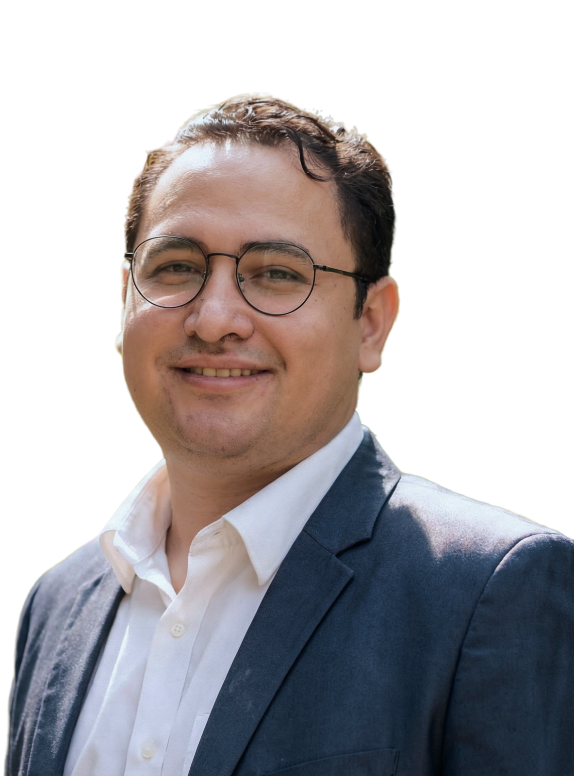

The project in pictures
Out in the forest
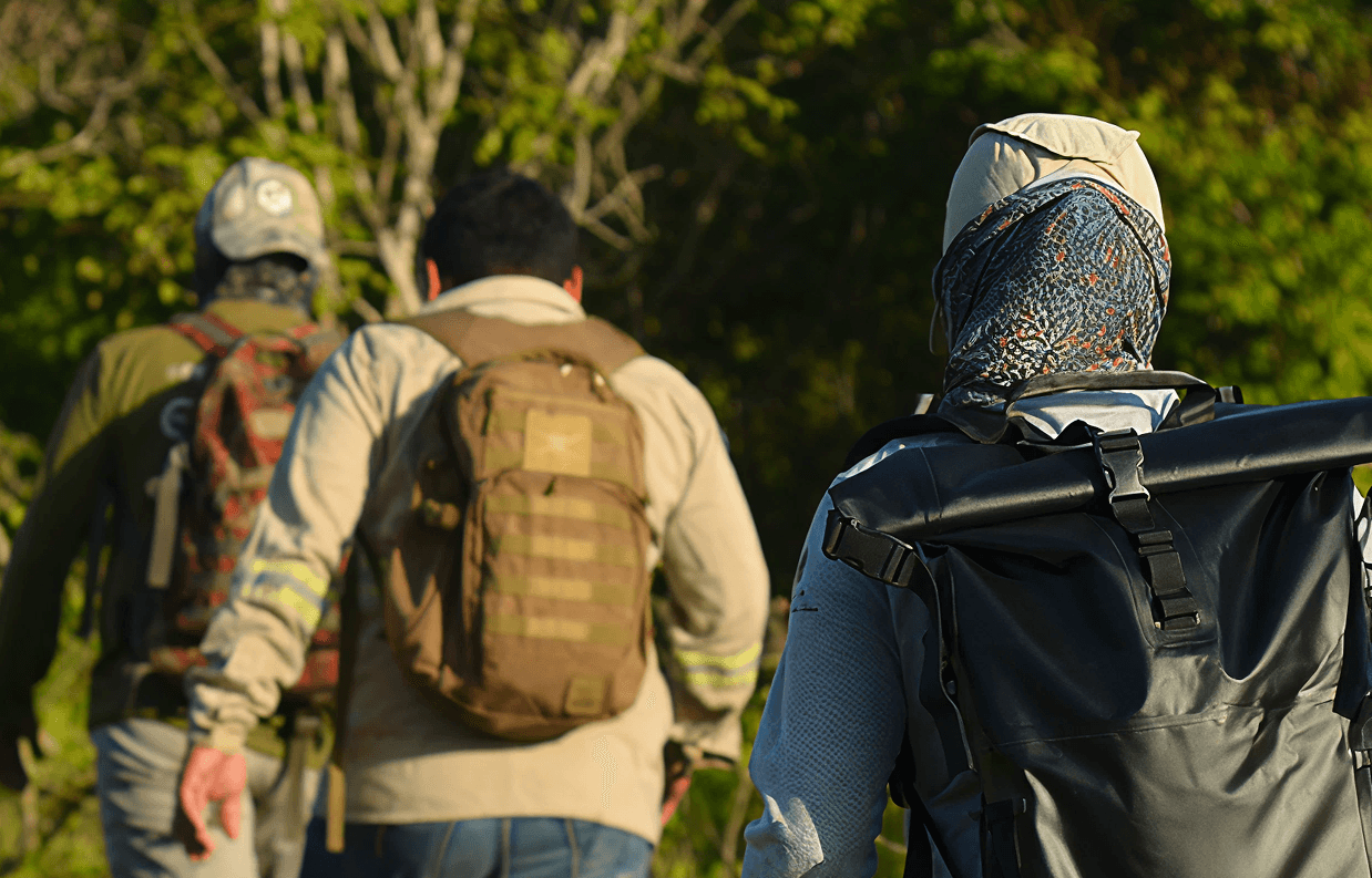
Community monitors from the Chac Mool Group travel through the forest, wetlands and mangroves to select monitoring sites, deploy equipment, collect data and report hunting, wildfires and other activity in the area.
BioScanner in the hands of the territory
In BioScanner workshops, community monitors, park rangers, students, partners and protected area teams upload their photos, review the species detections and jaguar identifications the AI suggests, and validate each species.
Chac Mool Jaguar Festival
In 2025, Dzilam de Bravo held its first Jaguar Festival: virtual reality, games, talks and camera trap photos to bring the reserve and the jaguar closer to people.
Workshops and schools
The project is also shared in schools, in workshops with families and on field trips with engineering students, so more people get to know what lives in their territory.
Tech4Nature Mexico on video
Relive more moments from Tech4Nature Mexico over the years.
Tech4Nature México
El escurridizo jaguar ha sido captado con Tech4Nature México
Tech4Nature México: creando un corredor biológico de los jaguares
De días a minutos: así está cambiando la IA el fototrampeo en México
The road to Tech4Nature Mexico's Phase 2
How AI Is Helping Save Jaguars Across Latin America (Interview with Tech4Nature Mexico)
Tech4Nature México: evento de lanzamiento
Learn how to create an initiative like Tech4Nature Mexico
The replication toolkit brings together what we learned over four years, organized in five stages with tools and templates, so other territories can create their own initiative.